

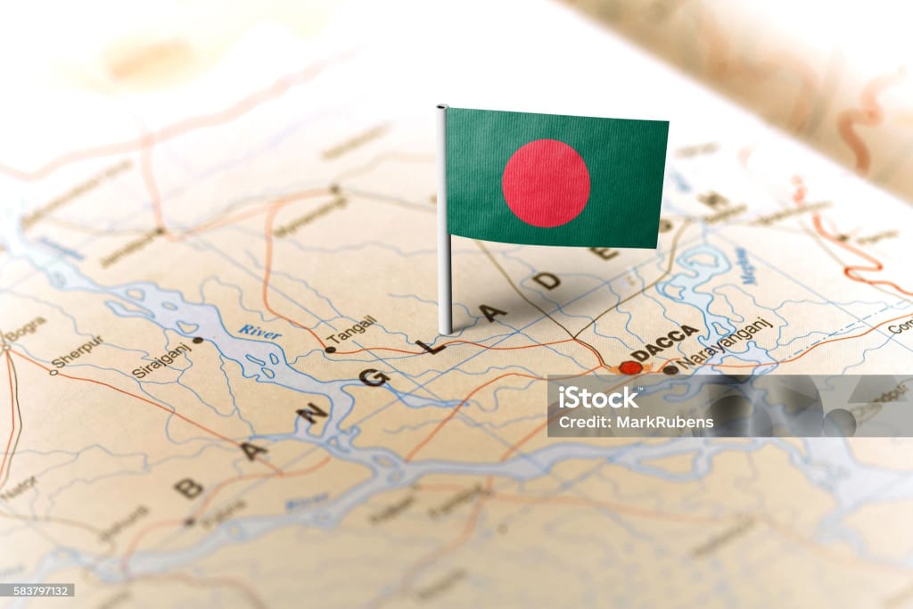
Bangladesh, country of South Asia, located in the delta of the Padma (Ganges [Ganga]) and Jamuna (Brahmaputra) rivers in the northeastern part of the Indian subcontinent.
The riverine country of Bangladesh (“Land of the Bengals”) is one of the most densely populated countries in the world, and its people are predominantly Muslim. As the eastern portion of the historical region of Bengal, the area once formed, along with what is now the Indian state of West Bengal, the province of Bengal in British India. With the partition of India in 1947, it became the Pakistani province of East Bengal (later renamed East Pakistan), one of five provinces of Pakistan, separated from the other four by 1,100 miles (1,800 km) of Indian territory. In 1971 it became the independent country of Bangladesh, with its capital at Dhaka.
The most significant feature of the Bangladesh landscape is provided by the rivers, which have molded not only its physiography but also the way of life of the people. Rivers in Bangladesh, however, are subject to constant and sometimes rapid changes of course, which can affect the hydrology of a large region; consequently, no description of Bangladesh’s topography retains its absolute accuracy for long. One spectacular example of such a change occurred in 1787, when the Tista River underwent exceptionally high flooding; its waters were suddenly diverted eastward, where they reinforced the Brahmaputra. The swollen Brahmaputra in turn began to cut into a minor stream, which by the early 1800s had become the river’s main lower course, now known as the Jamuna. A much smaller river (the Old Brahmaputra) now flows through the Brahmaputra’s former course.
Each year between June and October, the rivers overflow their banks and inundate the countryside, rising most heavily in September or October and receding quickly in November. The inundations are both a blessing and a curse. Without them, the fertile silt deposits would not be replenished, but severe floods regularly damage crops and ruin hamlets and sometimes take a heavy toll on human and animal populations.
The rivers may be divided into five systems: (1) The Padma (or Ganges) and its deltaic streams, (2) the Meghna and the Surma river system, (3) the Jamuna and its adjoining channels, (4) the North Bengal rivers, and (5) the rivers of the Chittagong Hill Tracts and the adjoining plains.
The greater Ganges is the pivot of the deltaic river system of the historical region of Bengal. The greater Ganges Delta covers some 23,000 square miles (60,000 square km), the bulk of it in southwestern Bangladesh. The Ganges in Bangladesh is known as the Padma, and it is divided into two segments, the upper Padma and the lower Padma. The river enters Bangladesh from the west and constitutes, for about 90 miles (145 km), the boundary between Bangladesh and West Bengal. As it flows farther into Bangladesh, the upper Padma forms numerous distributaries and spill channels and reaches its confluence with the Jamuna west of Dhaka, after which their combined waters make up the lower Padma—which, from a hydrological perspective, is the Padma proper. The lower Padma flows southeast to join the Meghna near Chandpur and enters the Bay of Bengal through the Meghna estuary and lesser channels. Except where it is confined by high banks, the upper Padma’s main channel changes course every two or three years. Its waters appear muddy owing to the volume of silt carried by the river. Silt deposits build temporary islands that reduce navigability but are so highly fertile that they have been for decades a source of feuds among peasants who rush to occupy them.
The Meghna is formed by the union of the Sylhet-Surma and Kusiyara rivers. These two rivers are branches of the Barak River, which rises in the Nagar-Manipur watershed in India. The main branch of the Barak, the Surma, is joined near Azmiriganj in northeastern Bangladesh by the Kalni and farther down by the Kusiyara branch. The Dhaleswari, a distributary of the Jamuna River, joins the Meghna a few miles above the junction of the lower Padma and the Meghna. As it meanders south, the Meghna grows larger after receiving the waters of several rivers, including the Buriganga and the Sitalakhya.
The Jamuna and its adjoining channels cover a large area from north-central Bangladesh to the Meghna River in the southeast. A number of rivers enter the Jamuna, especially from the west, and, with their notoriously shifting channels, they not only prevent permanent settlement along the Jamuna’s banks but also inhibit communication between the northern area of Bangladesh and the eastern part, where Dhaka is situated.
The Tista is the most important water carrier of northwestern Bangladesh. Rising in the Himalayas near Sikkim, India, it flows southward, turning southeast near Darjiling (Darjeeling) to enter Bangladesh, where it eventually meets the Jamuna. The shoals and quicksand that surround the junction of the two rivers render navigation of the Tista’s lower reaches difficult.
Four main rivers constitute the river system of the Chittagong Hills and the adjoining plains—the Feni, the Karnaphuli, the Sangu, and the Matamuhari. Flowing generally west and southwest across the coastal plain, they empty into the Bay of Bengal. Of these rivers the longest is the Karnaphuli, which is dammed at Kaptai, about 30 miles (50 km) upstream from its mouth near the city of Chittagong.
None of the major rivers of Bangladesh originates within the country’s territory. The headwaters of the Surma are in India; the upper Padma rises in Nepal and the Jamuna in China, but they too reach Bangladesh across Indian territory. Thus, Bangladesh lacks full control over the flow of any of the streams that irrigate it. The construction of a barrage upstream at Farakka in West Bengal has led to the diversion of a considerable volume of water from the Ganges in India, and the flow to western Bangladesh is insufficient in the dry season, from November to April. The equitable distribution of the river’s waters has been since the 1970s a source of friction between India and Bangladesh.
Bangladesh has a typical monsoon climate characterized by rain-bearing winds, moderately warm temperatures, and high humidity. In general, maximum temperatures in the summer months, from April to September, are in the low to mid-90s F (mid-30s C). April is the warmest month in most parts. The range of high temperatures in the winter months, from November to March, is greater than in the summer months. January is the coolest month, with high temperatures averaging in the mid- to upper 70s F (mid-20s C).
The conditions of lowest atmospheric pressure occur in Bangladesh in June and July, the storm season. Winds are mostly from the north and northeast in winter, blowing gently in northern and central areas and somewhat more aggressively near the coast. During the period of the northwesters (strong winds from the northwest) from March to May, however, wind speeds may rise to 40 miles (65 km) per hour.
Bangladesh receives heavy rainfall; except for some parts in the west, it generally exceeds 60 inches (1,500 mm) annually. Large areas of the south, southeast, north, and northeast typically receive from 80 to 100 inches (2,000 to 2,500 mm), and the northern and northwestern parts of the Sylhet area usually receive from 150 to 200 inches (3,800 to 5,000 mm). The maximum rainfall occurs during the monsoon period, from June to September or early October.
Storms of very high intensity often occur early in the summer (in April and May) and late in the monsoon season (September to October, and sometimes November). These disturbances may produce winds with speeds exceeding 100 miles (160 km) per hour, and they may generate waves in the Bay of Bengal that crest as high as 20 feet (6 meters) before crashing with tremendous force onto the coastal areas and the offshore islands, causing heavy losses of life and property. Since the early 18th century, when records were first kept, more than 1,000,000 people have been killed in such storms, some 815,000 of them in just three storms occurring in 1737, 1876, and 1970.
Bangladesh is bordered by the Indian states of West Bengal to the west and north, Assam to the north, Meghalaya to the north and northeast, and Tripura and Mizoram to the east. To the southeast, it shares a boundary with Myanmar (Burma). The southern part of Bangladesh opens into the Bay of Bengal.
There are three main categories of soils in Bangladesh: the old alluvial soils, the recent alluvial soils, and the hill soils, which have a base of sandstone and shale. The fertile recent alluvial soils, found mainly in flooded areas, are usually clays and loams, variously pale brown, sandy, chalky, and mica-laden. They are deficient in phosphoric acid, nitrogen, and humus but not in potash and lime. The old alluvial soils in the jungles of the Barind and Madhupur regions are dark iron-rich brown or reddish clays and loams. They are sticky during the rainy season and hard during the dry periods. The hill soils are generally permeable and can support dense forest growth.
Bengali (Bangla), the national language of Bangladesh, belongs to the Indo-Aryan group of languages and is related to Sanskrit. Like Pali, however, and various other forms of Prakrit in ancient India, Bengali originated beyond the influence of the Brahman society of the Aryans. The Pala rulers of Bengal (8th to 12th century)—who were Buddhists and whose religious language was Pali—did not inhibit the emergence of a colloquial tongue known as Gaudiya Prakrit, the language from which Bengali developed.
The Bengali language, Islamic religion, and rural character of Bangladesh all serve to unify the country’s culture to a considerable degree. Although some regional variation occurs across the Bengali community, cultural differences between ethnic, religious, and social minorities and between rural and urban populations are much more salient.
The typical household in Bangladesh, particularly in the villages, includes several generations of extended family. Most marriages are arranged by parents or other relatives, but increasing numbers of educated men and women choose their own partners. Custom and religion among Muslims require that a dowry be offered by the husband to the wife, but it is usually claimed only in the event of separation or at the husband’s death. Divorce is permissible among Muslims, and Muslim law (Sharīʿah) permits limited polygyny, although it is not widespread. Hindus may obtain a separation by application to a court of law.
The main festivals in Bangladesh are religious. The two most important are Eid al-Fitr, which comes at the end of Ramadan, the Muslim month of fasting, and Eid al-Adha, the festival of sacrifice, which falls on the 10th day of the last month of the Islamic calendar. On both occasions families and friends exchange visits.
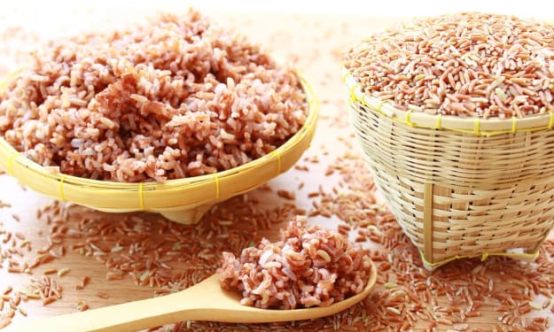
While rice, pulses, and fish continue to constitute the staple diet of Bangladeshis, shortages of rice since World War II have forced the acceptance of wheat and wheat products as alternatives. Meat, including goat and beef, also is eaten, especially in the towns. At weddings and other festive occasions, seasoned rice (pilau) accompanies highly spiced meat dishes and curries. Bangladesh is noted for a large variety of milk-based sweets.
The lungi (a length of cloth wrapped around the lower half of the body, comparable to the Malaysian sarong) with a short vest is the most common form of male attire in the countryside and in the less-wealthy sections of urban settlements. Men of the educated classes prefer light cotton trousers called pajamas (from which the English word originates) and a kind of collarless knee-length shirt known as a panjabi. On more formal occasions they dress in a modification of the Western suit. The traditional sherwani and churidar, calf-length tunic and close-fitting trousers, are still seen at weddings, where they are worn along with the turban. The sari is common among women, but girls and younger women, especially students, prefer the shalwar kamiz, a combination of calf-length shirt and baggy silk or cotton trousers gathered at the ankles.
About the Creator
Keep reading
More stories from Sajib Mridha and writers in Chapters and other communities.
Dragon Horse
The first technique Aroon's grandfather teaches her is how to take a hit. The only way to strengthen a sword is to keep beating and beating the blade. His knee slams into her solar plexus, sucking all the air out of her lungs and squeezing enough tears out of her eyes to blur her vision in one swift move.
By Wen Xiaosheng4 days ago in Chapters


Comments
There are no comments for this story
Be the first to respond and start the conversation.