
I. Definitions
A city is a bounded set of points.
A street is a line segment connecting two points.
An intersection is the shared endpoint of four segments arranged in right angles.
A resident is a moving point constrained to streets.
These definitions were ratified on the day the city abandoned metaphor.
Before that day, the city had been described in imprecise language—busy, lonely, alive. After the ratification, the descriptions were removed from all records. What remained were measurements.
The city was renamed Grid 7.
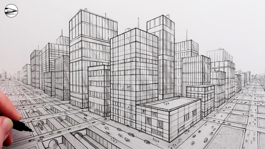
Grid 7 consisted of 49 square blocks, each block exactly 100 meters per side. Streets ran north–south and east–west only. No diagonals were permitted. Curves were forbidden. Any structure that deviated from orthogonality was removed or rebuilt.
This was not a matter of taste. It was a theorem.
II. Axioms
The founding council published three axioms:
All movement must be representable as a vector.
All destinations must be reachable by the shortest path.
No element may exist that cannot be measured.
From these axioms, everything else followed.
Trees were cut into columns and planted at regular intervals. Rivers were redirected into channels of uniform width. Hills were leveled. The sky was divided into angular sectors for observation, though no one could alter it.
The council did not forbid emotion. It simply provided no place for it to attach.
III. The Cartographer
The cartographer was called Unit A-19, though he had once answered to a different name. That name had been discarded because it contained redundant letters.
Unit A-19’s task was to maintain the master map of Grid 7.
The map was not symbolic. It was exact.
Every building was drawn to scale. Every streetlight had coordinates. Every resident’s address was expressed as an ordered pair.
A-19 updated the map daily. He did not embellish. He did not annotate. The map was a function: input reality, output representation.
At least, that was the intention.
IV. The First Irregularity
On Day 4,231 of the city’s existence, A-19 noticed a discrepancy.
Block (3,5) should have contained 16 residential units, each occupying a 20-by-20 meter square. Fifteen were present. One was missing.
The absence was measurable. The void had dimensions: 20 meters by 20 meters by 8 meters high.
A-19 marked it as Null Structure NS-3-5-16 and reported it to the council.
The council replied with a single instruction:
Resolve.
V. Resolution Procedures
Resolution did not mean understand. It meant eliminate inconsistency.
Three approved methods existed:
Correction – Build the missing structure.
Reclassification – Redefine the block’s expected content.
Removal – Adjust the grid to exclude the anomaly.
A-19 examined each.
Correction required construction permits, materials, and labor. Reclassification required a formal amendment to the city’s axioms. Removal required altering the grid itself.
All were costly. All were precise.
A-19 chose to measure again.
VI. Measurement
He returned to Block (3,5).
The void persisted.
He walked its perimeter, counting steps. Each step was standardized: 0.75 meters. His count matched the map.
He measured the angles. All were right angles.
He measured the ground. Level.
He measured the air. Empty.
The void complied with every rule except existence.
A-19 recorded the data.
VII. A Lemma Concerning Absence
In classical geometry, absence is not a category. There is either a point or there is not.
Grid 7 had no notation for almost.
Yet the void behaved like an object. It occupied space. It displaced potential structures. It forced rerouting of pedestrians.
Residents walked around it without comment, as if obeying an invisible wall.
A-19 observed that their paths bent, not curved, but segmented—two straight lines instead of one. The void altered shortest paths.
This violated Axiom 2.
VIII. Proof Attempt One
A-19 attempted a proof by contradiction.
Assume the void does not exist.
Then all shortest paths remain unchanged.
But paths are altered.
Therefore the void exists.
This was unacceptable. The void could not exist without classification.
A-19 discarded the proof.
IX. Proof Attempt Two
He attempted a constructive proof.
Define the void as a structure with zero material density.
Assign it coordinates.
Include it in the grid.
But this violated Axiom 3. Zero density could not be measured.
He discarded this proof as well.
X. The Council’s Intervention
The council summoned A-19.
They did not ask how he felt. They asked for diagrams.
A-19 presented overlays, vectors, and matrices showing pedestrian flow deviation.
The council deliberated.
After 47 minutes, they issued a decree:
The void shall be considered an error of perception.
This was a powerful classification. Errors of perception were excluded from the grid by definition.
The council instructed A-19 to remove NS-3-5-16 from the map.
XI. The Act of Removal
A-19 erased the square from the master map.
The erasure was exact.
He recalculated routes. On paper, shortest paths returned to normal.
On the streets, they did not.
Residents continued to walk around the absent space.
This created a discrepancy between map and territory, which was forbidden.
XII. Corollary: On Human Motion
Residents were defined as moving points constrained to streets.
However, their motion now contradicted the map.
They behaved as if constrained by something unrepresented.
This implied either:
The map was incomplete.
The residents were malfunctioning.
The axioms were insufficient.
Only one option preserved the council.
XIII. Adjustment
The council amended the definition of a resident.
Revised Definition:
A resident is a moving point constrained to streets and recognized obstacles.
They added a footnote:
Recognition does not require representation.
This allowed the void to influence motion without existing.
The grid remained pure.
XIV. A Pattern Emerges
A-19 noticed another irregularity weeks later.
Then another.
Small voids appeared across Grid 7. All were orthogonal. All were precise. None were acknowledged.
When plotted, their coordinates formed a sequence.
Not random. Not symmetric.
They followed a lattice of increasing spacing, approximating—but never reaching—a curve.
A-19 recognized it: a discrete approximation of a spiral.
XV. The Spiral Without Curves
Curves were forbidden. But sequences of straight segments could approximate them arbitrarily closely.
The voids were doing exactly that.
They formed a geometric suggestion.
A-19 did not name the spiral. Names implied metaphor.
He labeled the phenomenon Sequence V.
XVI. Proof Attempt Three
A-19 attempted induction.
Base Case: One void exists.
Inductive Step: If n voids exist forming Sequence V, then n+1 will appear.
The data supported this.
However, induction required a generating rule.
A-19 could not find one in the axioms.
XVII. A New Construction
A-19 constructed a model.
He removed residents from the simulation. He removed weather. He removed time.
He left only the grid.
Sequence V still appeared.
This implied the phenomenon was independent of human behavior.
It was structural.
XVIII. Theorem (Unratified)
A-19 drafted an unratified theorem:
In a sufficiently constrained system, unrepresented structures emerge to restore degrees of freedom.
He did not submit it.
The council rejected the phrase restore as teleological.
XIX. Compression
As Sequence V expanded, the grid became increasingly inefficient.
Shortest paths lengthened.
Travel time increased.
The council introduced optimizations: pedestrian quotas, time-slot movement, route assignments.
The grid held, but barely.
The voids continued.
XX. The Map Reaches Capacity
The master map had limits. Not conceptual limits—physical ones.
Ink density reached saturation. Layers overlapped. Precision degraded.
A-19 proposed a solution: increase scale.
The council refused. Scale was fixed by definition.
XXI. Folding
Instead, the council authorized Folding.
Folding allowed distant blocks to be identified as the same location if their properties matched.
Block (1,1) could coincide with Block (7,7) if all measurements aligned.
This reduced map complexity.
Folding was not metaphorical. Streets were rerouted. Residents crossed boundaries without traveling.
The grid became topological.
XXII. Consequence of Folding
Sequence V intersected itself.
Voids overlapped.
In one location, three voids occupied the same coordinates.
This created a paradox: a space that was absent three times.
Residents avoided it more strongly.
Their paths bent earlier, longer, as if repelled.
XXIII. The Limit Case
A-19 considered the limit.
If voids continued, if folding increased, the grid would collapse into a single point with infinite constraints.
Movement would be impossible.
The city would be perfectly defined and entirely unusable.
XXIV. Final Construction
A-19 acted without authorization.
He added one object to the map.
Not a building. Not a void.
A diagonal.
It was one line segment, connecting two non-orthogonal points.
It violated everything.
XXV. Result
The grid destabilized.
Shortest paths recalculated.
Voids ceased appearing.
Sequence V terminated.
Residents hesitated, then moved—directly, efficiently.
The diagonal absorbed the excess constraint.
XXVI. Aftermath
The council removed A-19 from his position.
They deleted the diagonal from the map.
But it persisted in motion.
Residents continued to cut corners.
The grid could not enforce itself completely anymore.
XXVII. Conclusion (Unstated)
The city did not collapse.
It did not heal.
It adjusted.
The map was no longer exact.
The axioms were no longer complete.
But the system held.
Which, in the end, was the only requirement.
About the Creator
Keep reading
More stories from Dagmar Goeschick and writers in Fiction and other communities.
Winter Ritual
Winter arrives without asking. It comes quietly, often overnight, when the world has decided to slow down. Winter is cold. Winter is white. Winter lasts three long months—sometimes more—and sometimes it comes with snow, and sometimes only with the promise of it. Either way, it changes everything.
By Dagmar GoeschickExclusive • 2 months ago
A Love Forboding
The chipped stone slope caused unbearable footing. I slid, skirting on my heels. I cast my shield, relinquishing my guard to stay upright. Left with my double-edge and a prayer to the maker, I skated toward my objective. The earthly stubble gave way to solid ground. I found myself restored, a trail of dust in my wake.
By James U. Rizzi6 days ago in Fiction
Cabin Fever Because of Snow, Sleet, and Freezing Rain That Turned to Icy Roads
What Is Cabin Fever? The short answer is that cabin fever is restlessness from being in a confined area. Cabin fever is the distressing irritability or restlessness experienced when a person or group is stuck at an isolated location or in confined quarters for an extended time. Research shows that prolonged cold, gray skies, and being stuck indoors can trigger mood shifts similar to “winter blues.”
By Margaret Minnicks5 days ago in Humans


Comments
There are no comments for this story
Be the first to respond and start the conversation.